Surveying & Mapping
CPH’s collaborative, full-service approach to working with clients to build stronger communities includes an in-house Surveying Services team. Our team’s multidisciplinary approach expedites schedules, ensures accuracy, and improves efficiency. Supporting a variety of project needs, we facilitate real estate transactions, new construction, upgrades, expansions, and/or renovations.
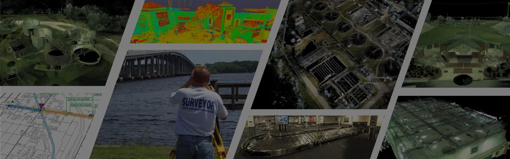
As an integral part of the project delivery team, our Survey team works closely with clients, engineers, architects, planners, and contractors—providing added value from inception to completion. Our proven processes move projects forward with greater efficiency and precision, employing the most current technology and tools to further enhance accuracy, speed, and safety. These technologies include Terrestrial Laser Scanning (TLS), Aerial Surveys, Aerial and Terrestrial Light Detection and Ranging (LiDAR), Aerial Photogrammetry, and Architectural 3D Building Scanning.
- Plat Reviews
- Boundary, Topographic, and As-Built Surveys
- ALTA/NSPS Land Title Surveys
- Design Surveys
- Horizontal Control Surveys
- High-Definition 3D-Laser Surveys Vertical Control
- GPS Surveys
- Sketches of Descriptions
- Quantity Surveys
- Construction Surveys
- Computer Mapping
- Peer Review
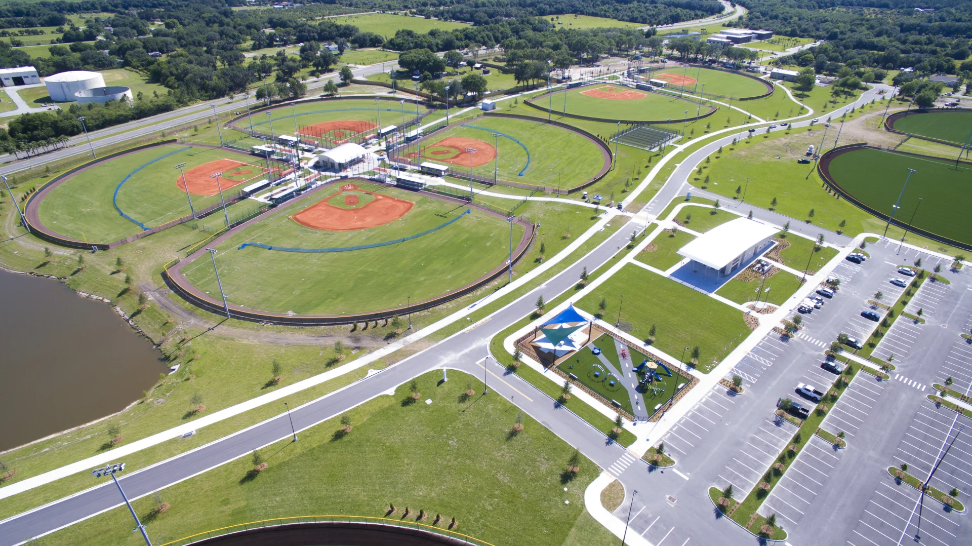
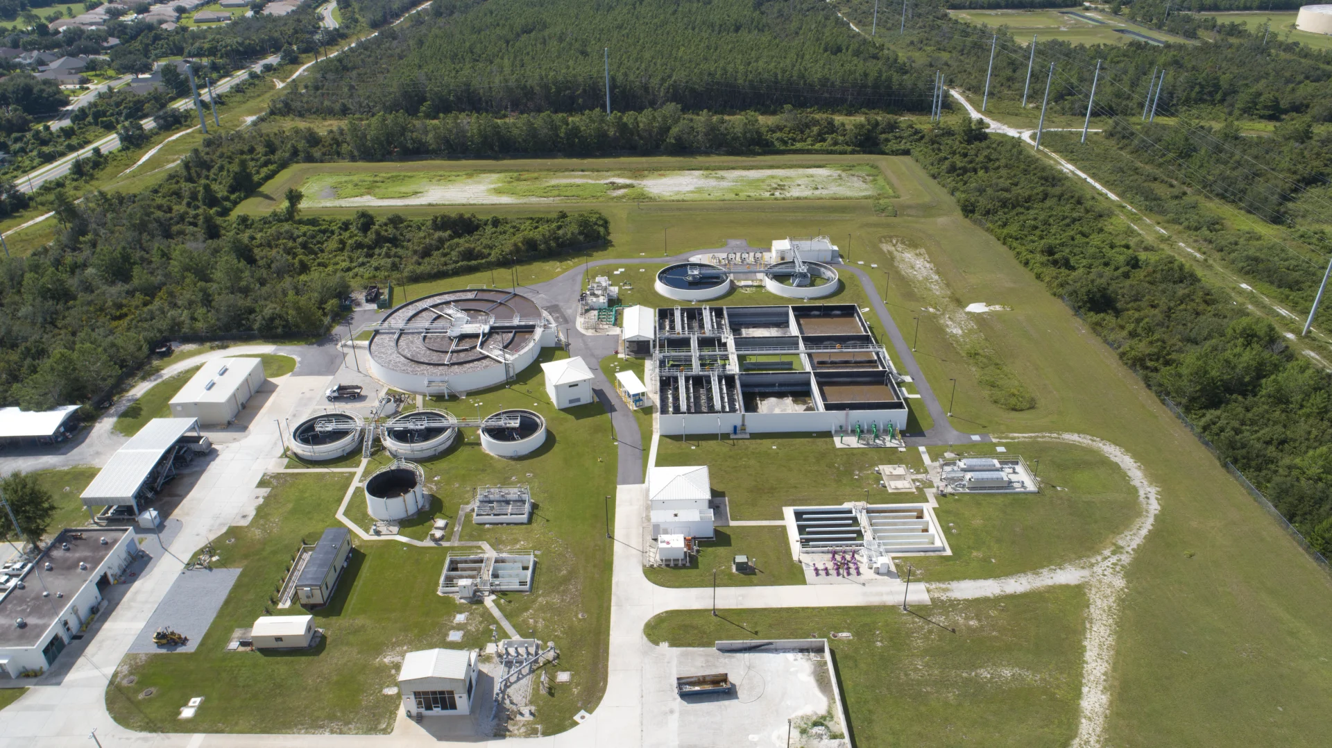
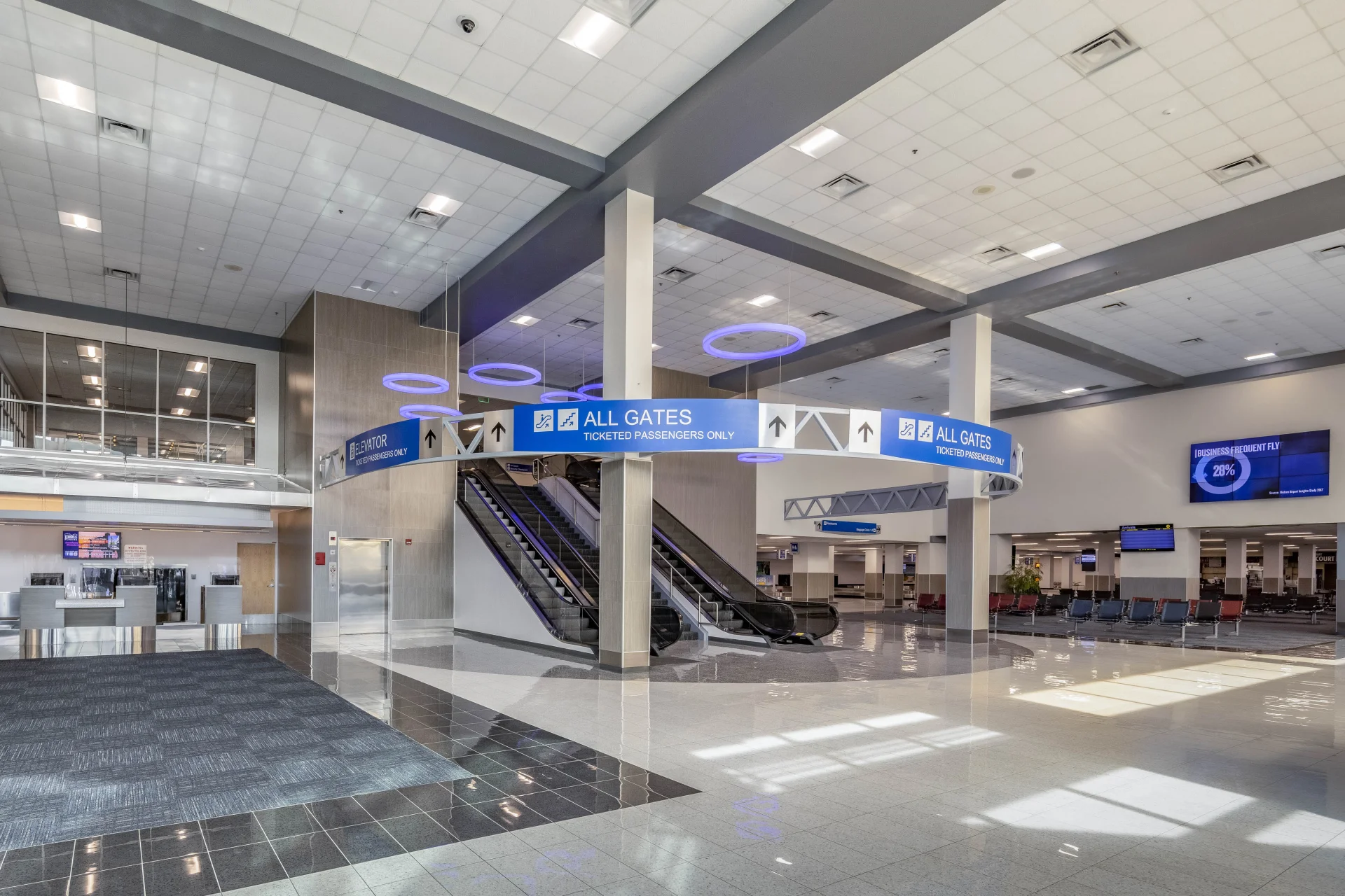
Featured Surveying & Mapping Projects